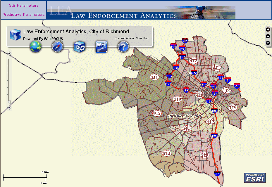
The new WebFOCUS GIS Viewer for Flex is developed using the Adobe Flex version 3.5 development environment and the ArcGIS API for Flex version 1.5. Adobe Flex is an open source framework that is used to develop dynamic, cross-platform Internet applications. Similar to the previous WebFOCUS GIS Map View Manager, the new WebFOCUS GIS Viewer for Flex uses an adapter to integrate the mapping capabilities of ESRI ArcGIS Server with WebFOCUS.
The WebFOCUS GIS Viewer for Flex simplifies the development of business intelligence solutions that result in more rapid and complete analysis of different types of data. The results of this analysis are distributed using a web 2.0 style interface in the form of interactive maps, traditional business reports, and charts for more informed and timely decisions.
Using the ESRI open source framework developed in Adobe Flex for web mapping, WebFOCUS tools have been added to enable robust reporting capabilities. The display of information is bi-directional. The WebFOCUS GIS Viewer for Flex provides three conduits to display data in this mapping interface:
WebFOCUS Report
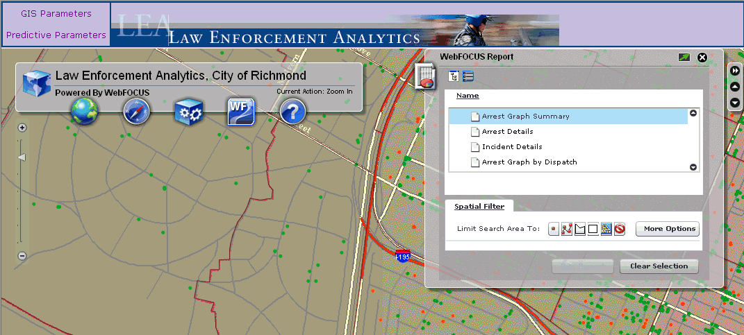
WebFOCUS reports are triggered using a location-based query, which is passed to the WebFOCUS Reporting Server and then served as stylized reports. These reports provide drill-down options to communicate with the WebFOCUS GIS Viewer for Flex to display information in a different format. As a result, the map can display this information in a visual format.
WebFOCUS Map
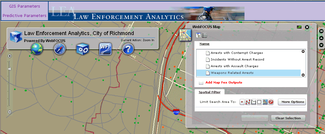
WebFOCUS map reports can be triggered directly from within the map itself. After a location-based query is issued, the map communicates with the WebFOCUS Reporting Server to receive data available in any format and then displays the results on the map using graphical elements (colors, symbols, pictures, and so on).
WebFOCUS Identify
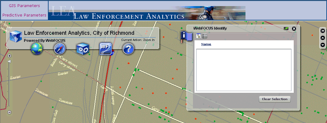
WebFOCUS identify reports are single location-based queries. When you click on a specific location, the map receives information from the WebFOCUS Reporting Server to display the information in contextual windows directly on the map (for example, callouts and mouseovers).
| WebFOCUS |